
04 Mar Pelican Captured in Air, under Water and on Land
Pelican Captured in Air, under Water and on Land
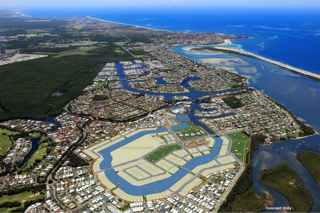
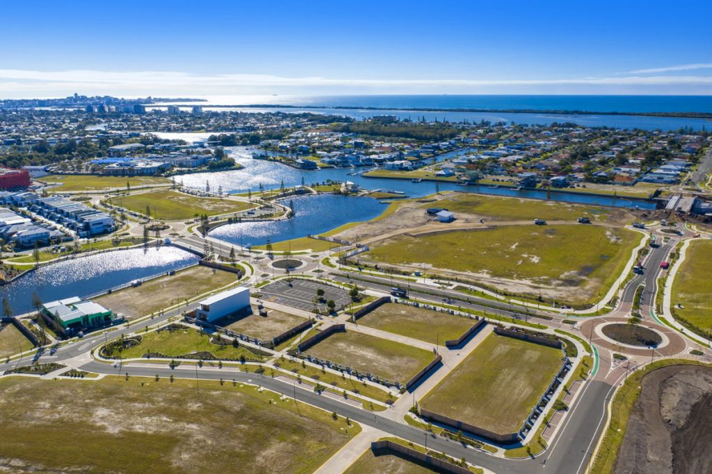
Pelican Waters is a flagship Master Planned Community, located on the Sunshine Coast, that includes unique features such as canals with open water access, a Greg Norman designed Golf Course and a soon to be developed Marina and Marina Village.
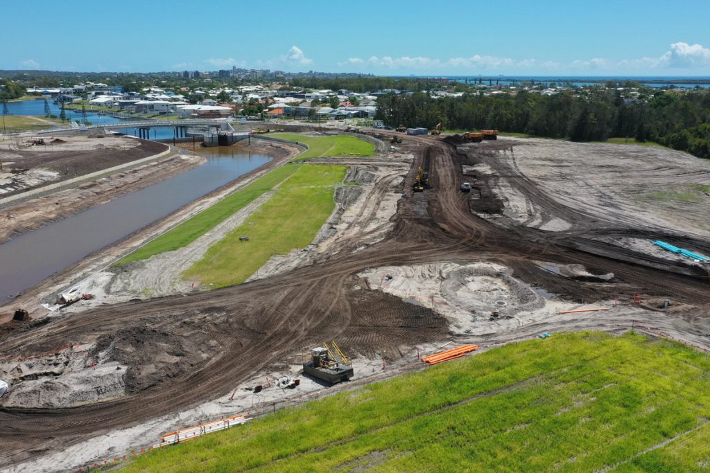
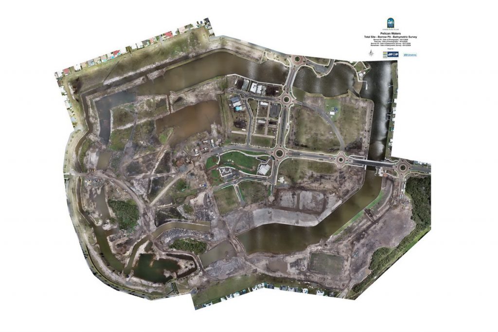
JFP recently suggested to Pelican Waters that cutting-edge Spatial Services could be used to help manage a significant, ongoing project risk. Being located on a large site with flat terrain and constant construction activity, managing balanced bulk earthworks on-site has proven a constant challenge. JFP understood the challenge. We knew that maintaining a balance between cut and fill over constantly changing terrain with an area of more than 50 hectares, dotted with spoil heaps, tracks, waterways, vegetation and multiple construction sites, required earthworks calculations to be quickly and accurately updated on a regular basis.
Due to the project’s dynamic nature, it was important for JFP to work closely with the on-site civil contractor to ensure an effective pick up. To this end an Unmanned Aerial Vehicle (drone) and Unmanned Surface Vehicle (remote boat) have been employed in combination with good old fashioned field survey techniques. Using the UAV and USV has proven advantageous when delivering to the tight time frames presented and the difficult terrain to be surveyed. UAV surveys are delivered over the course of a day with the USV and field surveys following soon after. This means that accurate site snapshots can be captured; without significant changes to the existing terrain occurring due to constant construction activities. After capture data is collated, post-processed, thinned and quality checked to ensure it meets required tolerances before being passed onto the Project Engineers.
The innovative approach and technologies employed by JFP have given Pelican Waters a greater level of control over project earthworks and hence costs. Pelican Waters also appreciate that future surveys to calculate earthworks can be regularly and accurately captured without any disruption to the future construction program.
Sorry, the comment form is closed at this time.