Eye in the sky accurately surveys Central Queensland Industry
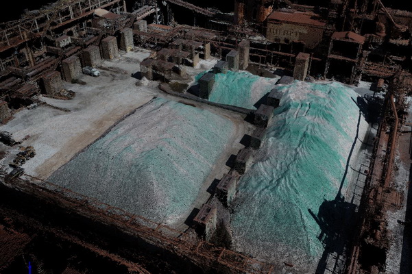
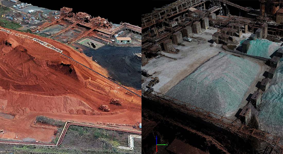
JFP has been using its Remote Piloted Aircraft (RPA), more commonly known as Drones, to provide accurate Survey data and imagery on numerous Heavy Industry sites across Central Queensland.
Importantly, in addition to producing quality survey data, visualised as “Point Cloud” images such as the one below as well as stunningly clear aerial images, drones allow our Surveyors to pick up the required data remotely and therefore more safely; which is a major consideration when working in a Heavy Industry Plant setting.
Sorry, the comment form is closed at this time.