03 Feb Avoiding Dire Straits when Surveying Down to the Waterline

Avoiding Dire Straits When Surveying Down to the Waterline
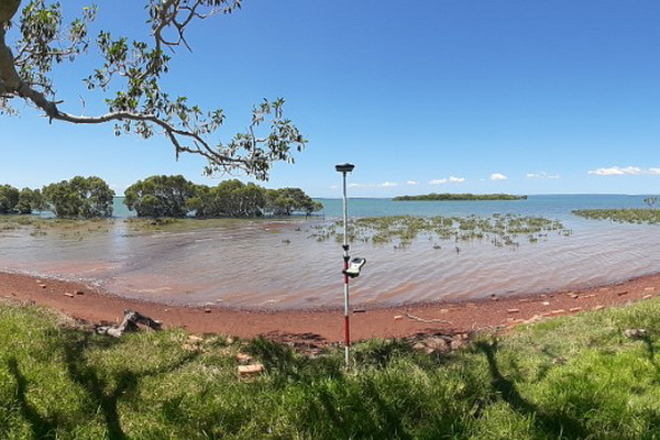
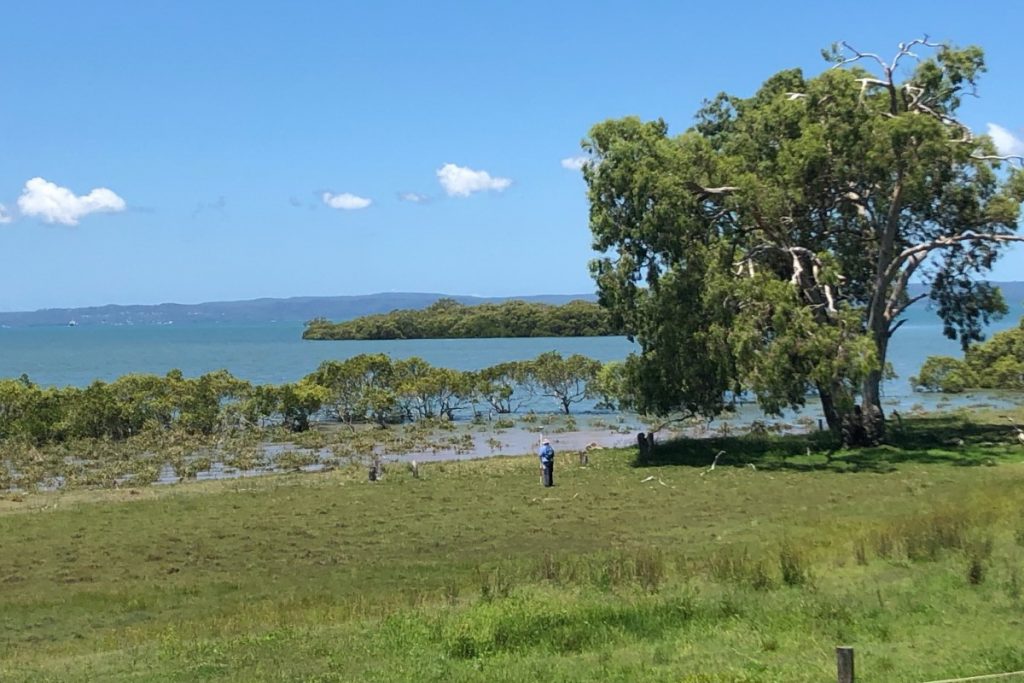
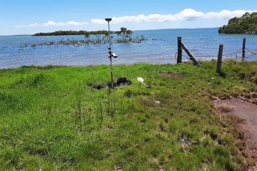
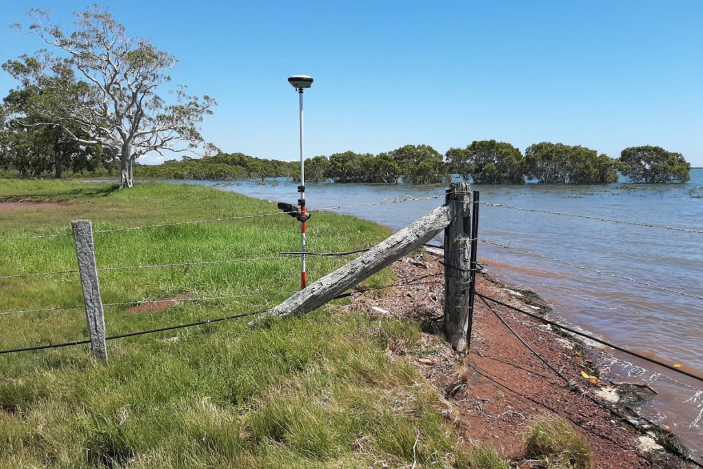
JFP was recently asked to survey the boundary of Moreton Bay in preparation for the creation of Ausbuild’s stunning new waterfront estate, Aurora.
Surveys that extend down to the waterline are naturally difficult, often due to heavy vegetation and steep terrain, however the terrain for this particular survey was a pleasant exception. A more significant difficulty is the onerous requirements set out by the Survey and Mapping Infrastructure Act for Ambulatory Boundaries (eg. waterfront boundaries). The extent of a waterfront site is expected to coincide with a natural feature. This means determining ambulatory boundaries can be complex; particularly if no natural feature was noted on original Survey Plans or if an obvious natural feature cannot be identified on site.
Understanding and applying ambulatory boundary principles and the Act are fundamental to ensuring that your Project does not end up in Dire Straits when the time comes to register future allotments.
In recent times JFP has successfully completed many water boundary surveys; on the Bay and along Creeks, Canals and Lakes. If you are fortunate enough to have a waterfront site, why not speak to JFP’s Surveyors about where the water ends, and where your site begins.
Sorry, the comment form is closed at this time.